Surveying Services
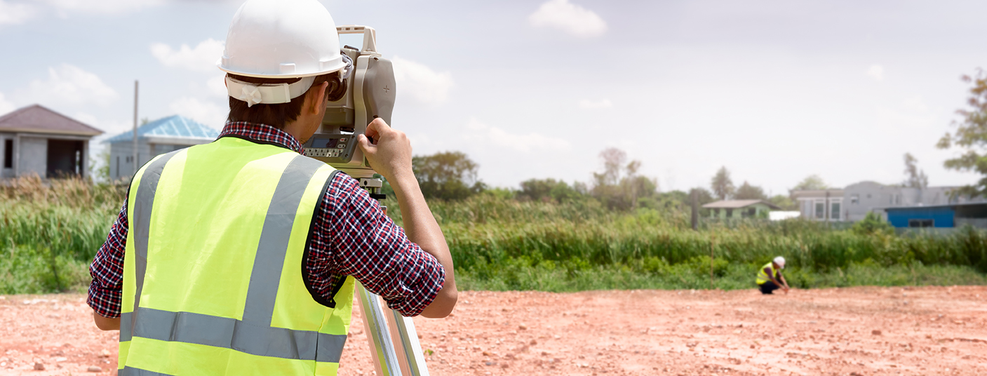
KMA Engineering & Surveying provides a full range of surveying services. Our survey crews and office staff have over 100 years of combined experience and training, and we utilize state-of-the-art equipment and software to provide superior results.
Surveying services include:
• ALTA/ACSM Surveys
• Easement Surveys
• Mortgage and Residential Surveys
• Route and Utility Locations
• Boundary Surveys
• Tree Location Surveys
• Topographic Surveys
• Deed and Legal Descriptions Written
• Elevation Certificate, FEMA Flood Certification
• Earth Quantity Surveys
• Subdivision Plats
• Global Positions
• Condominium Plats/Documents
• Construction Surveying and Stake Out
• Lot Splits
• Building, Water and Sewer Lines
• Right-Of-Way Surveys
• Roadways, Grading, Utilities
• 3D Modeling

Engineering Services
At KMA Engineering and Surveying, we pride ourselves on delivering cost effective, reliable solutions for all aspects of site development and civil engineering services that meet our client needs. As experts in site development and the development process, KMA provides an informed analysis of the critical elements of development. We evaluate key criteria of potential sites, including traffic and roadway access, flood protection, environmental concerns, drainage, utility availability and agency approvals.
Engineering Services include:
• Commercial Site Planning
• Residential Subdivisions
• Water & Wastewater Design
• Storm Water Design
• Construction Inspections
• Minor Structural Design

Photogrammetry Drones
The drone
Among the many benefits of using photogrammetry drones are:
Drones can be used for surveying in many scenarios:
3001 Industrial Ave 2
Fort Pierce, FL 34946
772-569-5505
